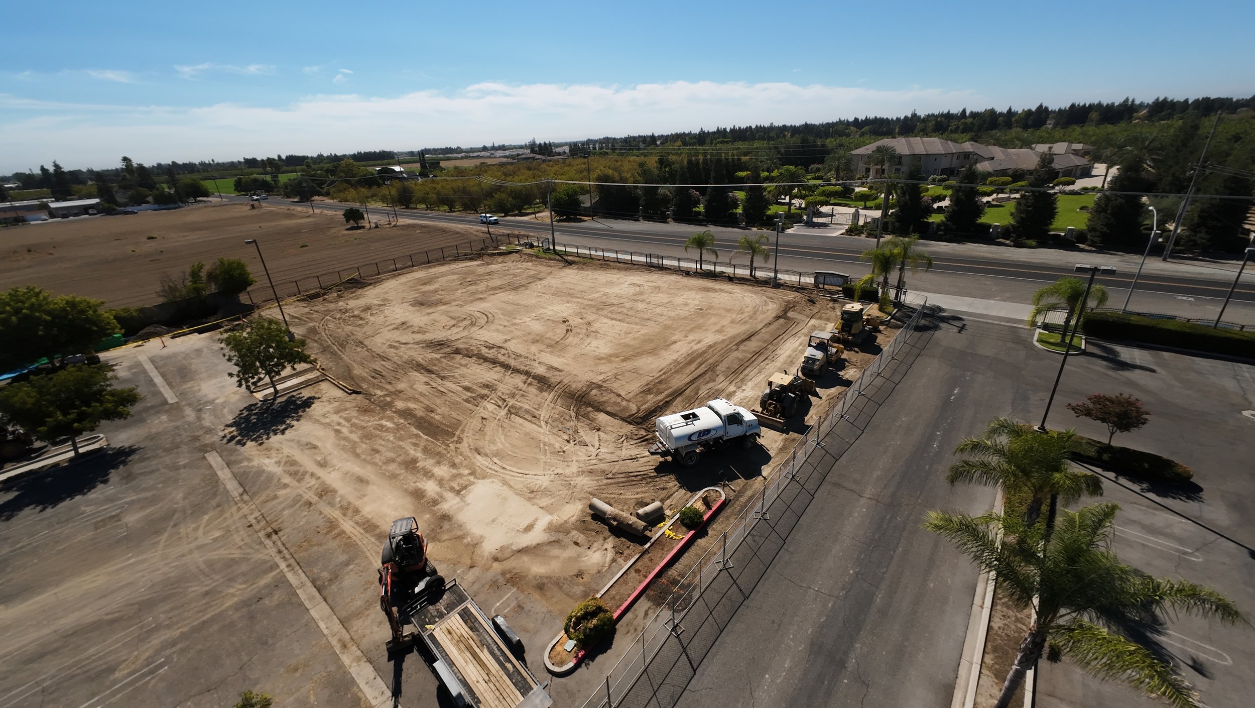
Aerial documentation for the job site
I provide commercial drone photography for survey and construction work: progress photos, site overview stills, and documentation that helps a team see the ground from above.
I am Steven Lelham, based in Turlock, California. I hold an FAA Part 107 remote pilot certificate, which is required for commercial drone flights in the U.S.
What this work is for
Construction progress
Periodic stills of a site as grading, foundations, framing, or finishes move forward. Useful for owners, general contractors, and stakeholders who need a clear record without walking every corner.
Survey and site overview
High, steady views of a parcel, pad, or corridor when a ground-level camera cannot show the full picture. Useful for planning conversations, status updates, and visual records.
Job-site documentation
A set of aerial stills timed to a milestone, inspection window, or client update. Flights can be planned around access rules, active equipment, and site activity that day.
Part 107 certification
Commercial drone work in the U.S. requires an FAA Part 107 remote pilot certificate. I hold that certificate. Every flight is planned around airspace, weather, daylight, and site safety.
If your project has height limits, restricted airspace, or site-specific rules, share those details when you inquire so we can confirm whether a flight is possible for your timeline.
Where I fly
I am based in Turlock and available for Central Valley sites, including Modesto, Denair, and nearby communities. Farther California locations are possible when travel and airspace make sense for the project.
What I need from you
To quote and schedule a flight, send:
- Site address or approximate coordinates
- What you want documented (progress, overview, specific structures)
- Preferred dates and any hard deadlines
- Access notes (gates, escorts, active crews, restricted areas)
Photography is scoped to the site visit and the deliverables you need. You do not need a finished shot list to start the conversation.
Start a project
Tell me about the site and what you need photographed from the air. Contact through the website /contact, email steven@lelham.com, or call (209) 277-4819. Typically replies within 24 hours.